Weekend Walls of Water: Long Beach Counts the Cost as Rachel's Swells Keep Coming
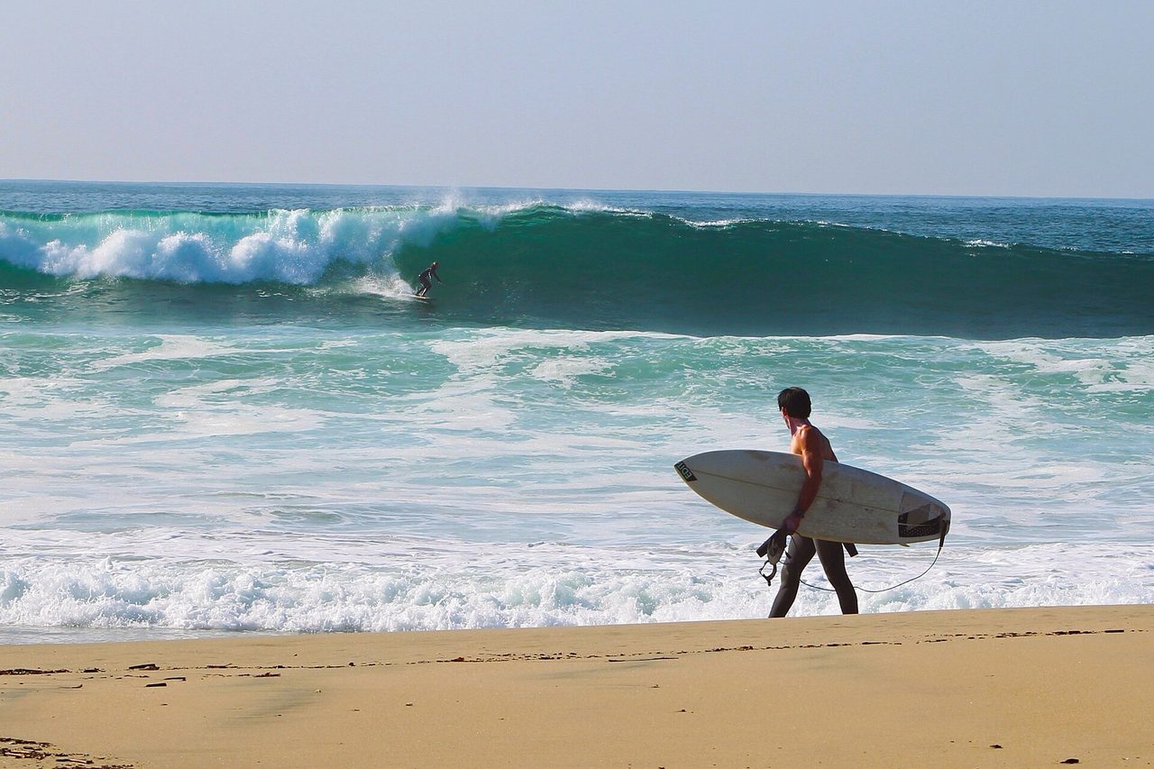
Photo: TheRuggedMale / CC BY 4.0 · via Wikimedia Commons
Weekend Walls of Water: Long Beach Counts the Cost as Rachel's Swells Keep Coming
A century-old boardwalk splinters
The remnants of Tropical Storm Rachel came ashore in northern Baja California on Saturday night and were downgraded to a post-tropical system on Sunday, yet through the Oct. 10-11 weekend the surf refused to ease. On Long Beach's Alamitos Peninsula, waves broke through the timber bulkhead that fronts the century-old boardwalk, chased water into homes and side streets, and tore off sections of wood that washed out to sea. Video showed a crack running from one waterfront home's foundation to its roof.
Thirteen addresses deemed unsafe to enter
City building inspectors red-tagged buildings spanning 13 addresses — reported as either eight or nine structures — meaning no one may go inside, and yellow-tagged one more building, which allows residents only brief trips in to retrieve belongings. At least 13 residences on the peninsula were judged unsafe after the weekend's impacts.
A 30-foot gap lets the ocean straight in
The bulkhead is the neighborhood's last line of defense. After Hurricane Marie stripped away the sand protecting it in September, roughly 30 feet of the wooden wall was left exposed, and this weekend's waves punched through it, opening a path for seawater to reach homes and the street. One home appeared close to tipping into the sea.
A mandatory evacuation runs into Tuesday
The city ordered residents of the 6400 and 6500 blocks of Seaside Walk — between 64th and 66th Places — to leave, with the order set to expire at noon Tuesday. Broader evacuation advisories for the peninsula were lifted over the weekend, but red-tagged homes stay off-limits and roads remain closed for repairs and inspections.
One man dies in the surf at Playa del Rey
Early Sunday, emergency crews responded to a person in distress in the water near the 6900 block of Pacific Avenue in Playa del Rey. The New York Post reported that Los Angeles County lifeguards performed CPR on the adult man, but he was pronounced dead at the scene, and officials said no foul play was suspected. Forecasters spent the weekend warning that rip currents and sneaker waves "will pull the most experienced and capable swimmers and surfers out to sea."
Forecasts eased, the advisories did not end
The National Weather Service's coastal flood warning for Los Angeles County beaches ran until 3 p.m. Sunday, followed by a coastal flood advisory through 2 p.m. Tuesday. Meteorologist Joe Sirard of the NWS Oxnard office said warm ocean water and low pressure are holding levels 1 to 1.8 feet above predicted tides, leaving south-facing beaches most exposed, with morning high tides near 7 to 7.5 feet into Monday. Sunday was billed as the biggest day of concern, though Long Beach Fire Assistant Chief Jake Heflin conceded it "didn't manifest into the degree we thought it would."
Three tropical systems in six weeks
Mayor Rex Richardson called the pattern abnormal: Hurricane Marie over Labor Day, then Hurricane Polo, now Rachel. Officials and forecasters point to an El Niño-driven Kelvin wave riding on elevated astronomical tides as the reason the water keeps arriving higher than the gauge says it should.
Newport Beach goes dark on beaches and piers
Newport Beach declared a local emergency Friday after knee-high water covered roughly ten blocks of the Balboa Peninsula. The city shut all beaches and piers Saturday morning, reopened most by afternoon, and kept Newport Pier, Balboa Pier and the Wedge closed. Twenty-six historic cottages at Crystal Cove were evacuated, with reservations canceled at least through Tuesday, and Seal Beach closed beach parking lots as a precaution.
Santa Cruz braces for 16-footers
Northern California was not spared. The NWS issued a beach hazards statement for the Santa Cruz County coastline citing breaking waves up to 16 feet, sneaker waves and strong rip currents, with a coastal flood advisory running through Tuesday afternoon. The Santa Cruz Sentinel published weekend photographs of waves hammering Twin Lakes State Beach, and local lifeguards urged beachgoers to stand far back from the water after stretches of deceptively calm surf.
Sand, dredging and a very long bill
Crews used a crane to place 30 heavy-duty sandbags, each weighing 3,000 pounds, against the bulkhead at 64th Place, while the city handed out sandbag counts that differ by outlet — about 7,600 this storm and 15,000 across three, per the Post, or roughly 17,000 and 24,000, per local news. A $230,000 emergency plan to move 50,000 to 100,000 cubic yards of sand is underway, the $11.4 million dredging project starts the week of Oct. 19 and is meant to widen the beach by about 200 feet, and a full shoreline restoration has been estimated at $150 million to $350 million.
'Stay out of those homes'
Heflin's message to residents was blunt: stay out of red-tagged structures, even to collect possessions, because a building on the verge of collapse offers no margin. City crews will keep pumping water, bracing the bulkhead and assessing damage twice a day, with the state already pre-positioning more than 4 million sandbags, 50,000 feet of portable flood barriers and 400,000 tons of rock under Governor Newsom's September emergency proclamation ahead of the El Niño winter.
Sources
- New York Post
- KTLA
- ABC7
- MyNewsLA
- KSBW