Friday's squall line was fast and fierce — then came the 20-degree drop
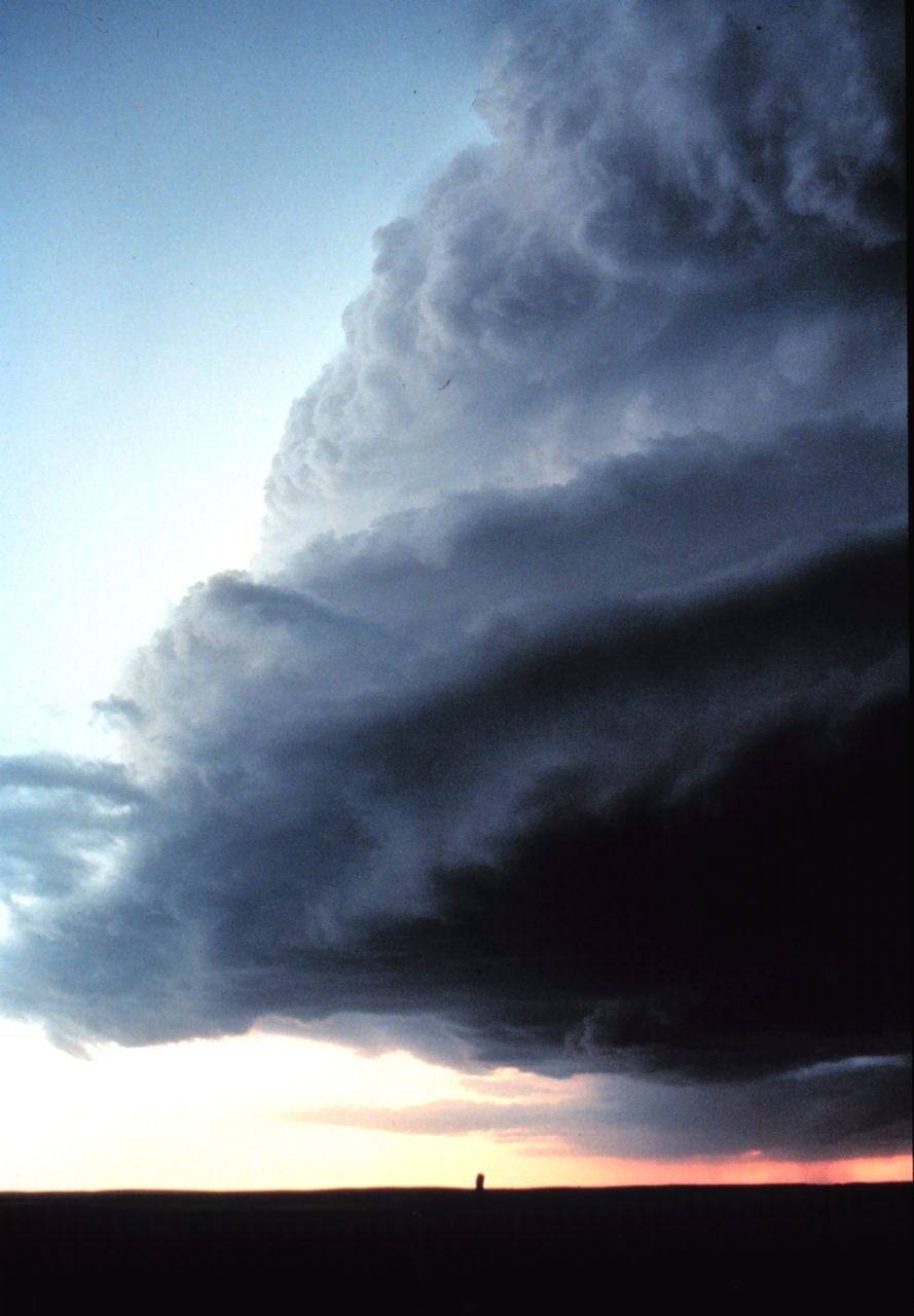
Photo: NOAA, Public domain, via Wikimedia Commons · via Wikimedia Commons
Friday's squall line was fast and fierce — then came the 20-degree drop
A cold front, a narrow line, 19.7 million under a watch
On Friday, Oct. 16, 2026, a strong cold front drove a narrow, fast-moving line of thunderstorms east across eastern Pennsylvania, New Jersey, New York, Maryland, Delaware and southern Connecticut. NOAA's Storm Prediction Center issued Severe Thunderstorm Watch 686 at 1:25 p.m. EDT for Washington, Baltimore, Philadelphia and southern New York until 8 p.m., then added Watch 687 at 3:50 p.m. for New Jersey, Delaware, eastern Maryland, western Connecticut and far southern New York until 10 p.m. The 686 area alone held about 19.7 million residents, 4,663 schools and 302 hospitals.
Forecasters put the emphasis on wind, not rain
The watch language was blunt: "widespread damaging wind gusts to 70 mph likely," plus "a couple of tornadoes" possible. AccuWeather senior meteorologist Alex Sosnowski put gusts in the stronger cells at 55 to 65 mph. The National Weather Service office in New York rated the tornado threat north and west of the city at under 5 percent. Rain was never the headline — a quarter to half an inch was expected across the region.
Near-80 heat, then a very fast line
Friday's highs reached the low 80s, including 83°F around Washington, giving the front warm, moist air to lift. New York's forecast office described a "low-topped" line with strong deep-layer shear but modest instability — 500 to 750 J/kg of CAPE — the recipe for a fast line that hurts mostly with wind. It crossed the region in a couple of hours.
Warnings stacked up west of Philadelphia
At 5:07 p.m., the weather service warned northeastern Berks, northwestern Montgomery, southeastern Lehigh and west-central Bucks counties, with a storm near Fleetwood moving east at 55 mph and gusts to 70 mph forecast, tagged a "considerable" damage threat. At 5:34 p.m. the warning centered near Quakertown, and by 5:44 p.m. the storm sat nine miles east of Easton, moving at 45 mph, with Hunterdon, Morris, Warren and Somerset counties warned until 6:15 p.m. on radar-indicated 60 mph winds — carrying a "tornado possible" tag.
The watches came down before 7 p.m.
Earlier, a warning covering Lackawanna, Luzerne and southeastern Wyoming counties ran to 4:30 p.m., with gusts to 60 mph reported. New Jersey warnings fired between 5:34 and 5:36 p.m., and a special weather statement at 6:02 p.m. flagged Passaic and Bergen counties. By 6:57 p.m., the Mount Holly office canceled New Jersey's watch, and the Storm Prediction Center's 9 p.m. outlook forecast no severe areas for the rest of the night.
Preliminary reports: trees, wires, no tornadoes
The center's preliminary storm reports logged wind damage — trees, wires, power lines — mainly across Pennsylvania and into New Jersey, Massachusetts and Connecticut. No tornadoes, no hail. Trees came down in Hunterdon County, New Jersey, where CBS New York found damage.
Outages stayed light near New York City
For all the warning, the grid around the biggest population center held. At 1:02 a.m. Saturday, PSE&G counted 12 active outages and 961 customers out of roughly 2.33 million; PSEG Long Island showed a single outage and fewer than five customers at 12:12 a.m.; a third-party tracker put Con Edison, with about 3.63 million customers, at one customer out at 1:22 a.m. Utilities had pre-positioned crews before the front arrived.
Connecticut carried the heaviest load
Eversource reported 3,639 customers out at 2:30 p.m. Saturday, including 1,078 in Greenwich, 310 in Darien and 259 in Farmington, easing to 2,988 by 5 p.m. and 1,570 by 9:30 p.m. United Illuminating showed 18,095 customers out at 3 p.m. — 9,887 in Bridgeport and 7,740 in Trumbull — tied to an equipment problem at the Old Town substation. Statewide outages peaked above 21,000 Saturday afternoon, fell to about 1,500 by night and roughly 500 by Sunday morning.
LaGuardia averaged 31-minute delays
The sky sent a bill to airports and rails. Thunderstorms triggered a LaGuardia traffic-management program with average delays of 31 minutes Friday afternoon, and American, United, Southwest and JetBlue issued rebooking waivers. NJ Transit told riders at midday to watch for evening-commute disruptions from strong storms and high winds.
Next: low 50s, then frost
The front delivered the season's coldest air. Washington went from 83°F Friday to 54°F Saturday with north gusts to 29 mph; Philadelphia topped out in the mid-50s, more than 20 degrees below Friday; New York City stayed in the 50s, about 10 degrees below normal. Saturday highs ran from the 40s to 50s across the Northeast with northwest gusts of 30 to 45 mph, and overnight lows fell into the 20s from Pennsylvania northward. Freeze watches covered eastern Pennsylvania and northern New Jersey late Saturday night into Sunday morning, with upper 20s to low 30s north and west of I-95 and a freeze warning as low as 26°F for Lackawanna and Luzerne counties. Sunday stays in the 50s, another round of frost is possible Sunday night, and forecasters are watching a possible coastal storm early next week.
Sources
- CBS New York
- CBS Philadelphia
- NBC10 Philadelphia
- NJ.com
- FOX 5 NY