Slow-Moving Nor'easter Hammers the East Coast, Forcing Outer Banks Evacuations
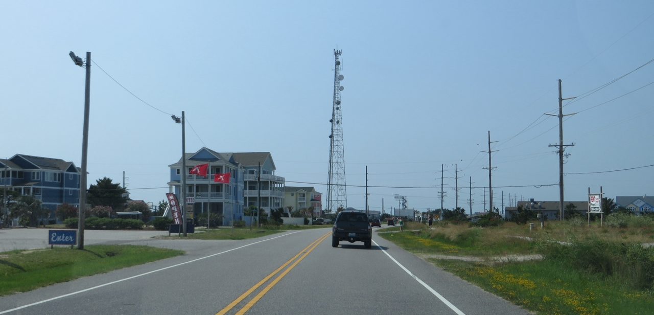
Photo: Ken Lund / CC BY-SA 2.0 · via Wikimedia Commons
Slow-Moving Nor'easter Hammers the East Coast, Forcing Outer Banks Evacuations
A strengthening offshore low takes aim at the coast
A powerful nor'easter is churning off the East Coast, battering the shoreline from North Carolina's Outer Banks up through the mid-Atlantic. According to Fox Weather on October 18, the storm developed along a strong cold front off the Carolina coast and kept intensifying, with its peak expected around late Tuesday and lingering effects through Thursday. The National Hurricane Center is tracking the system as Invest 93L, and it could morph into a subtropical storm.
Hatteras Island orders visitors out under emergency decree
Dare County Emergency Management declared a state of emergency for Hatteras Island on October 16 and ordered all visitors to evacuate. WFMY reported the evacuation took effect at 8 p.m. Friday, covering seven villages including Rodanthe, Avon and Buxton, while year-round residents were exempt. Officials warned that visitors who stayed risked being stranded for days in what forecasters called life-threatening conditions, with Highway 12 threatened by overwash.
A pressure squeeze drives relentless onshore winds
Fox Weather hurricane specialist Bryan Norcross explained the setup: a deepening offshore low paired with a strong high over the Midwest is squeezing the atmosphere, generating persistent northeast winds. The onshore push traps seawater in inlets and bays so it cannot drain between tides, stacking flood upon flood. AccuWeather senior meteorologist Adam Douty said water levels would run 2 to 3 feet above normal, with localized surges of 4 to 6 feet where water piles into sheltered back bays from southeastern Virginia to northeastern North Carolina.
Highway 12 swamped as surf and flooding spread north
The Outer Banks is taking the hardest hit. The Charlotte Observer reported on October 20 that waves broke through dunes along Highway 12 around 6:45 p.m. Monday, forcing the closure from the Marc Basnight Bridge to Rodanthe. Breaking surf of 8 to 12 feet is pounding ocean beaches in Maryland and Virginia, while seas build to 10 to 15 feet off New Jersey and New York and 12 to 17 feet off Virginia and Delaware. Minor to moderate coastal flooding is expected at high tide in Atlantic City and Virginia Beach, and water in Ocean City, Maryland, is running more than two feet above normal.
Possible Subtropical Storm Josephine with impacts into Thursday
The National Hurricane Center gives the system a medium chance of subtropical development over the coming week; if named, it would become Josephine. AccuWeather forecasts gusts of 40 to 60 mph along the mid-Atlantic coast, with isolated gusts near 70 mph in the most exposed spots. Wind advisories cover coastal Virginia and North Carolina with sustained northeast winds of 25 to 35 mph and gusts to 50 mph. Conditions should ease Thursday as winds taper, but until then forecasters warn boaters and beachgoers to stay clear of the dangerous surf.
Sources
- WFMY
- The Weather Company
- WITN
- Local10
- Fox29