Rare tornado threat issued for Southern California as Arizona faces egg-sized hail and tornado risk
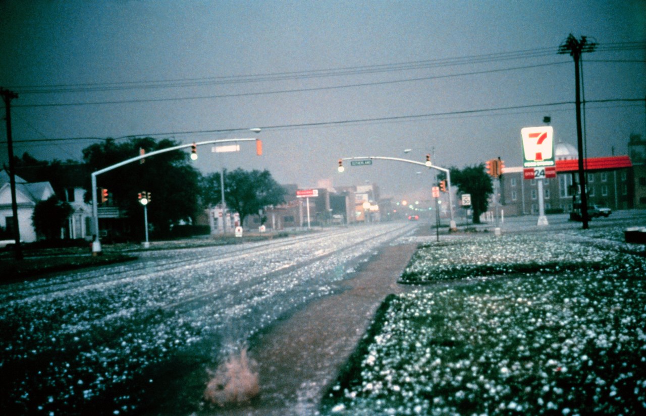
Photo: NOAA / Public domain · via Wikimedia Commons
Rare tornado threat issued for Southern California as Arizona faces egg-sized hail and tornado risk
Tornado threat lands on Southern California, a rare alert
The National Weather Service (NWS) issued a rare tornado and severe thunderstorm threat for Southern California, while parts of Arizona face a risk of egg-sized hail and tornadoes. Tornado warnings are unusual for Southern California, and this alert stems from a strong low-pressure system dropping south from the Pacific Northwest, bringing widespread rain to the region from Wednesday afternoon through Thursday while pushing warm, moist air into Arizona to fuel severe thunderstorms.
NWS puts central Arizona at Level 3, first October Level 3 since 2015
The NWS placed central Arizona, including Flagstaff and Prescott, under a Level 3 out of 5 risk of severe thunderstorms — the first October Level 3 since NOAA adopted its five-tier risk scale in 2015. The Southern California coast sits at a Level 1 out of 5 risk, with the main threats being an isolated tornado and damaging winds. Gabriel Lojero, a meteorologist with the NWS in Phoenix, said the chance of an isolated tornado is about 5%, with strong thunderstorms capable of producing damaging wind gusts in excess of 60 mph and large hail. The NWS also issued a flood watch for the Malibu coast and the eastern and western Santa Monica Mountains, effective Wednesday afternoon through Thursday afternoon. The FOX Forecast Center said this is the first Tornado Watch issued in Arizona in 16 years.
Rachel's leftover moisture fuels instability
The backdrop is the influence of Tropical Storm Rachel. Rachel had already brought rare tropical storm watches and heavy rain to Southern California, and its residual moisture, combined with the new West Coast system, has raised atmospheric instability. Meteorologists note that ocean temperatures are running up to 10 degrees above normal, and a historically strong El Nino has further increased the odds of extreme weather. Forecasters at damweather are especially concerned about supercell thunderstorms across central Arizona capable of producing hail the size of golf balls or larger, with rainfall rates of 1-2 inches or more per hour.
Rain, hail and flooding from Los Angeles to Phoenix
The affected area stretches along the coast from Monterey to Orange County, plus northern and central Arizona. Most of Los Angeles County is expected to average about 1.5 inches of rain, with 2 to 3 inches possible where terrain enhances rainfall and in areas hit by thunderstorms. In Arizona's East Valley, hail in excess of 1 inch in diameter and wind gusts of 40 to 50 mph were already reported Wednesday afternoon. Communities including Flagstaff, Bellemont, Camp Navajo, and Northern Arizona University fall within the warning area. Wednesday night brings a 15-20% chance of thunderstorms in the Los Angeles area, which could bring heavy rain and 40-60 mph gusts if they develop.
Storm heads east overnight; slight risk stays Thursday
The storm system is expected to affect Los Angeles County starting Wednesday afternoon and move east Wednesday night into Thursday morning. A slight (Level 2) risk remains in place for eastern Arizona on Thursday, October 22. The NWS puts the chance of a weak tornado at 5% or less, with the main threats being urban and poor-drainage flooding, creek and river flooding, and snow at high elevations in the Sierra (a half-foot or more). Los Angeles County public safety agencies have urged residents to prepare for high winds and significant rainfall.
Sources
- Fox Weather: Rare severe storm threat targets Southern California while Arizona faces potential egg-sized hail, tornadoes
- damweather: Rare, significant severe storm risk in the Southwest on Wednesday
- azcentral: Severe storm moves across Arizona, bringing rain, hail, tornado risks
- KTAR.com: Tornadoes possible when storms hit Phoenix area - KTAR.com
- Yahoo News: Much-needed rain to soak California as rare severe weather, flash flood threat grows in the Four Corners