Survey Ships Map the Seabed While Warships Mass Nearby
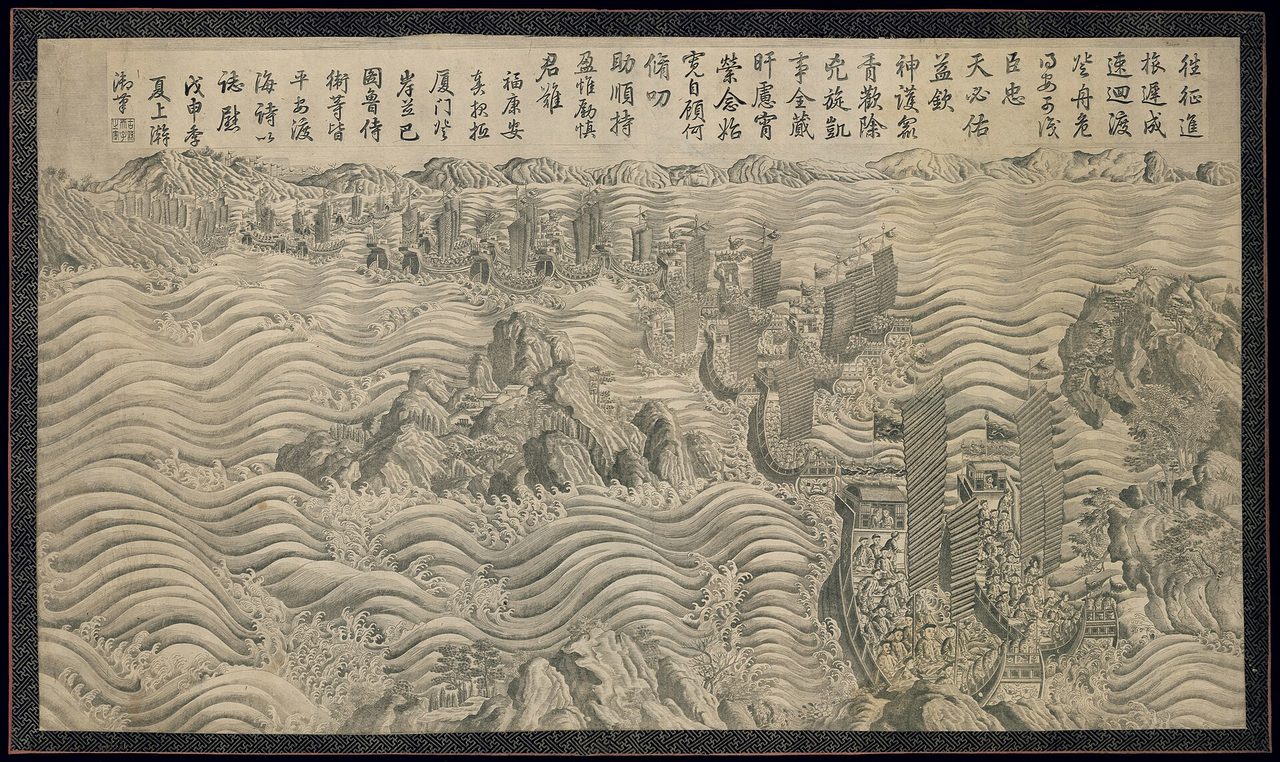
Photo: Beijing, China : The Chinese Imperial Court / Public domain · via Wikimedia Commons
Survey Ships Map the Seabed While Warships Mass Nearby
A WSJ report reframes civilian research as military preparation
China is systematically scooping up ocean data in the waters around Taiwan that could directly aid its forces in a future conflict, according to a new report by The Wall Street Journal. Bathymetry, currents, seabed composition and temperature layers all have legitimate scientific uses, but the same measurements underpin submarine routing, anti-submarine warfare, mine planning and amphibious landings. Beijing presents the operations as civilian research, resource management and law enforcement, while Taipei reads them as battlefield preparation unfolding in slow motion.
A three-week August survey east of the island
China's Ministry of Natural Resources ran a seabed geology and structural survey east of Taiwan from August 10 to 31, a mission disclosed by state broadcaster CCTV and reported by Reuters on September 3. Taiwan's coast guard monitored the operation and rejected Beijing's claim of jurisdiction over the surrounding waters. Analysts cited by the Times of India, drawing on Heritage Foundation research, place the mission in a wider pattern since June 2026 across three underwater regions: the Okinawa Trough north of Taiwan, the Huatung Basin to the east, and the Luzon Trough and Manila Trench to the south, near the routes linking the South China Sea with the western Pacific.
A militia boat appears off the east coast for the first time
In mid-August a Chinese group composed of the fishing vessel Minfudingyu, coast guard cutter 2502 and the research ship Xiang Yang Hong 03 operated near Taiwan's Pacific coast, the first confirmed appearance of a maritime militia boat off eastern Taiwan. Two senior Taiwan officials briefed on the matter confirmed the sighting and identified the fishing boat as part of the People's Liberation Army's maritime militia fleet, operating in coordination with coast guard harassment drills. A surveillance report by Taiwan's Apex Aviation documented the cluster more than 30 nautical miles off Hualien county using radar screenshots, infrared imagery and automatic-identification system data. Taiwan's coast guard has since placed the Minfudingyu 07902 on a priority watchlist and says it will keep tracking the vessel.
Research ships linger near undersea cables longer than anyone else's
An October 2026 analysis by the Center for Strategic and International Studies compared 200 research vessels from 47 nations over the five years ending in December 2025 and found Chinese vessels spent a statistically significant larger share of time near critical undersea communications cables. One Xiang Yang Hong fleet ship operating from July to October 2024 moved across an area where three cables connect the continental United States with Australia, Guam, Indonesia, Micronesia, Palau, the Philippines, Singapore and Timor-Leste, in movements consistent with switching from a cable-focused mission to civilian seabed mapping for minerals. In 2024 another vessel made repeated survey-like passes near Western Pacific cable systems linking Guam, Japan, the Philippines, Taiwan and the United States before heading north toward the Bering Sea. The ships carry multibeam echo sounders and deploy underwater gliders and profiling floats that widen collection across large areas, gear with direct military applications near undersea infrastructure.
Neighbors count the intrusions and respond
Citing Japanese Defense Ministry sources, analysts note that as of September 19 Japan's coast guard had recorded 13 cases in 2026 of Chinese research vessels conducting unauthorized surveys in waters around Japan, up from six in all of 2025. On October 18 Taiwan's National Security Council secretary-general Joseph Wu said six of 16 Chinese ships detected near Taiwan were survey vessels. Taiwan's military now plans to enlist civilians to map its own vulnerable "red beaches": contracting private firms to fit fishing boats with multibeam echo sounders for waters as shallow as 3 meters, plus chartered aircraft carrying LiDAR to survey beach terrain above and below the waterline, with the Naval Meteorological and Oceanographic Office handling noise reduction, integration and tactical linkage. On October 29 Wu warned that more than 50 Chinese navy and official vessels were operating across waters stretching from southern Japan to Taiwan and off the Philippines, calling the threat level obvious. The Philippines said on October 22 it is exploring deeper cooperation with Taiwan on protecting undersea cables and countering gray-zone activity.
What to watch next
Taipei's framing is blunt: gray-zone operations that look harmless one vessel at a time steadily raise the surveillance burden on Taiwan, Japan and the Philippines while pressuring the regional maritime order. The questions now are whether Chinese survey ships return to Taiwan's east coast before winter seas worsen, whether Taipei, Manila, Tokyo and Washington deepen joint monitoring and intelligence sharing, and whether Beijing folds new survey findings into expanded jurisdictional claims, including its stated linkage to Japan-Philippines maritime boundary talks.
Sources
- The Times of India: Research ships & seabed surveys: Inside China’s grey-zone tactics against Taiwan
- U.S. News: Exclusive-China Militia Boat Spotted for First Time off Taiwan's East Coast, Patrol Finds
- Center for Strategic and International Studies: China’s Weaponization of Dual-Use Research Vessels for Undersea Data Dominance
- The Epoch Times: Any Chinese Attack on Taiwan May Turn Japan’s Outlying Islands Into a Battleground: Analysts
- Taipei Times: Mapping beaches for mine plans