WASHINGTON — NASA scientists analyzed a 35-year satellite altimetry record. They warn the rapidly intensifying 2026 El Nino closely mirrors Pacific sea-level patterns from 1997. It could grow stronger than the historic 1997-98 climate event.
Satellites Track Warm Water Reaching South America
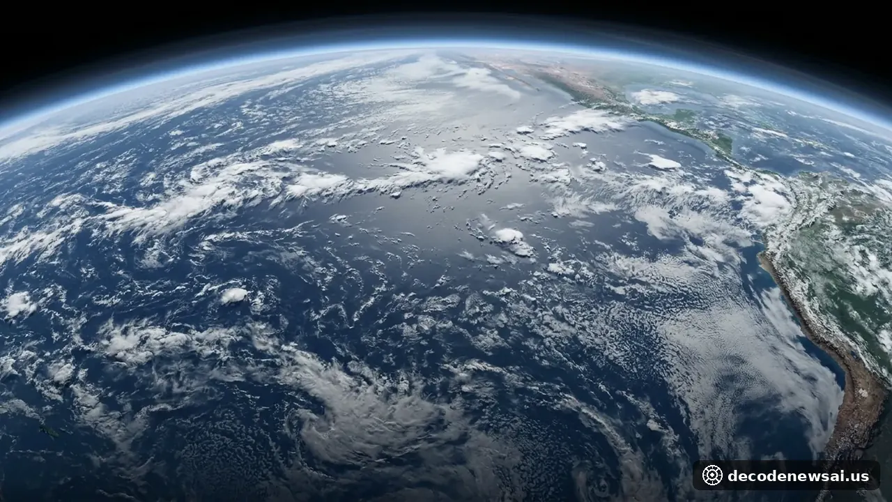
Researchers at NASA's Jet Propulsion Laboratory compared ocean surface height maps. The maps came from Oct. 13, 1997, and Oct. 12, 2026. They show unusually warm, elevated water stretching along the equatorial Pacific to the coast of South America.
"What's unique about altimetry is that we have a 35-year record from nearly identical satellites flying almost the same ground track, with each mission overlapping the next," said Josh Willis, project scientist for sea level missions at NASA's Jet Propulsion Laboratory. He added the 2026 event is on track to be even bigger. Unlike the 2015-16 El Nino measured by Jason-2, the 2026 warming developed far more abruptly and pushed farther east.
Early 2027 Forecast and Regional Uncertainty
In an Oct. 8 outlook, the National Oceanic and Atmospheric Administration estimated an 83% chance of strong to very strong El Nino conditions from January through March 2027.
The 1997-98 episode triggered heavy rainfall and flooding in California and the southern United States. It also brought droughts in southern Africa. Willis cautioned that atmospheric variability means regional winter impacts remain uncertain.