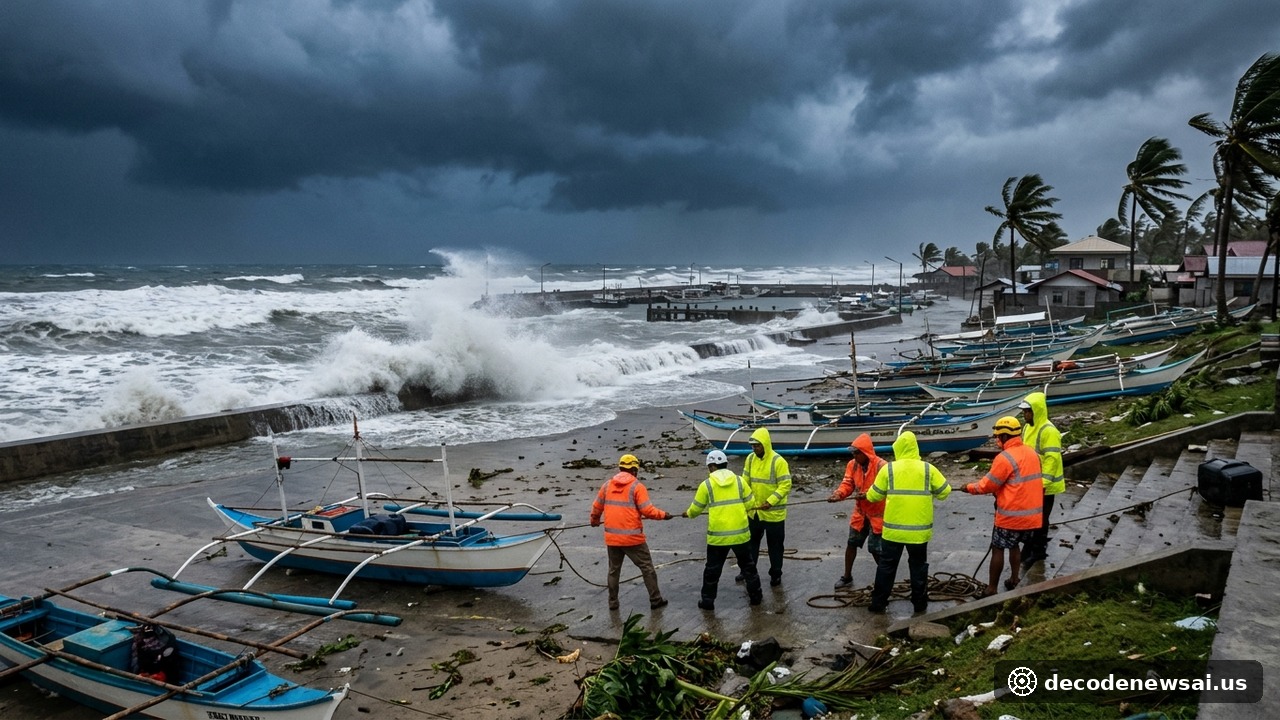
The Philippine atmospheric geophysical and astronomical services administration confirmed on November 8 that tropical cyclone Cempaka intensified into a typhoon outside the country's monitoring boundary. Sustained winds near the center reached 135 kilometers per hour. Peak gusts were clocked at 165 kilometers per hour. The storm is tracking steadily northwestward across the open Pacific. Swells are building rapidly across eastern offshore waters. Small fishing vessels have been cautioned against entering open ocean waters.
Storm 1000 km east of Luzon prompts evacuations and port restrictions
Weather forecasters located the storm's vortex approximately 1000 kilometers east of Luzon. Atmospheric models project the typhoon will cross into the Philippine area of responsibility within 48 hours. Upon entry it will receive its local operational name from state meteorologists. Northern provincial governments activated precautionary disaster management protocols across coastal zones. Local emergency teams cancelled all scheduled weekend leaves to prepare shelters. Civil defense directors convened emergency coordination meetings.
Cagayan and Isabela provinces issued preliminary evacuation advisories for low-lying coastal communities. More than 20000 residents living along vulnerable shorelines were placed on standby for rapid shelter relocation. Emergency agencies pre-positioned 50000 family food packs across municipal hubs. Public school gymnasiums and regional community halls were converted into storm refuges. Local health workers readied mobile first-aid stations. Potable water tanks were secured across evacuation compounds.
Maritime authorities restricted small vessel sailings along the eastern seaboard as heavy ocean swells began to impact coastal waterways. Coast guard stations reported more than 60 commercial cargo vessels and motorized passenger boats remained docked at provincial seaports. Around 1800 transit travelers experienced transit delays across inter-island ferry terminals. Maritime patrols ordered artisanal fishermen to pull skiffs above high-tide markers. Port storage warehouses battened down perimeter cargo tarpaulins.
Warnings of super typhoon status and 200 millimeters rainfall
Meteorologists warned that sea surface temperatures exceeding 29 degrees Celsius in the western Pacific provide ample thermal energy for further rapid intensification. The system could reach super typhoon status before making landfall across northeastern Luzon. Cumulative rainfall could easily exceed 200 millimeters across mountainous terrain. Steep slopes across the Cordillera mountain range face acute soil liquefaction risks. Hydrologists opened spillway gates across major reservoir impoundments.
Agricultural agencies coordinated with municipal farmer cooperatives to accelerate crop harvesting ahead of torrential winds. Extension officers documented more than 12000 hectares of mature rice paddies across low-lying river plains. Harvester machines operated continuously through coastal farmlands. Drying facilities accepted grain deliveries around the clock to mitigate post-harvest moisture spoilage. Rural cooperative banks prepared emergency soft-loan facilities for impacted tenant cultivators.
Civil defense administrator Cesar Idoma summarized readiness measures during an official disaster council briefing. He told reporters: "Northern provinces must clear all critical drainage channels before torrential rains arrive. Heavy engineering rescue assets have already deployed to high-risk landslide sectors."
Manila specialists monitor subtropical ridge and water rescue craft
Meteorological specialists in Manila are monitoring the mid-tropospheric subtropical ridge to ascertain the steering flow direction. If the high-pressure system maintains its westward orientation, the typhoon's core could traverse northern Luzon directly. Atmospheric soundings indicate favorable environmental conditions for rapid intensification. Regional disaster teams mobilized localized water rescue craft across provincial centers.
International humanitarian organizations in Manila placed emergency shelter supplies on standby. Deployed volunteers transported satellite communications handsets to remote mountain hamlets vulnerable to cellular dropouts. Municipal civil defense units completed safety briefings for all volunteer rescue cadres before torrential rains arrive.
Provincial disaster management authorities emphasized that continuous localized precipitation across upstream river basins could trigger sudden water surges into populated floodplain barangays. Municipal rescue squads completed vehicle readiness checks and inspected chainsaws, portable generators, and rubber flotation rafts across coastal depots. Civil defense volunteers coordinated with local village captains to establish emergency radio watch schedules. Community disaster councils are actively discouraging non-essential inter-island maritime travel until storm warning signals are officially lowered by national forecasters.
Councils urge low-lying villages to secure watercraft and stay alert
Regional disaster risk reduction councils urged residents in low-lying villages to secure watercraft and stay alert for flash flood warnings. Local municipal teams will inspect emergency generator fuel supplies and public school evacuation centers over the next 24 hours. Rural electric cooperatives placed emergency line crews on round-the-clock standby along vital highway corridors. Provincial police squads initiated mobile siren patrols through vulnerable farming settlements.