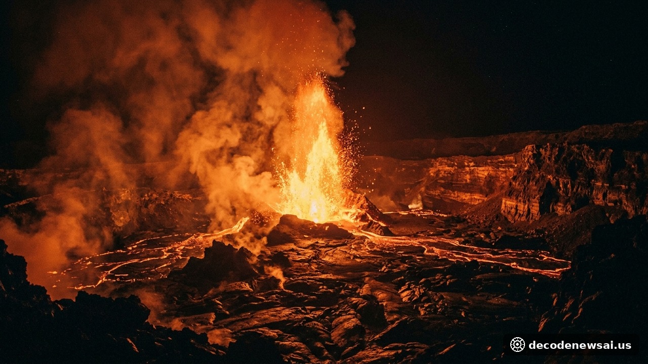
Mount Marapi in Indonesia's West Sumatra province erupted in consecutive volcanic blasts over the weekend. Geological observatory instruments confirmed that Saturday morning's primary eruption registered a maximum seismic amplitude of 15.6 millimeters across 48 seconds. A second nocturnal eruption early Sunday morning blanketed surrounding agricultural highlands in dense volcanic ash. Civil protection agencies mobilized emergency disaster relief supplies. Authorities maintained Alert Level 2 status.
Ahmad Rifandi confirms 2,891-meter Marapi magma pressure
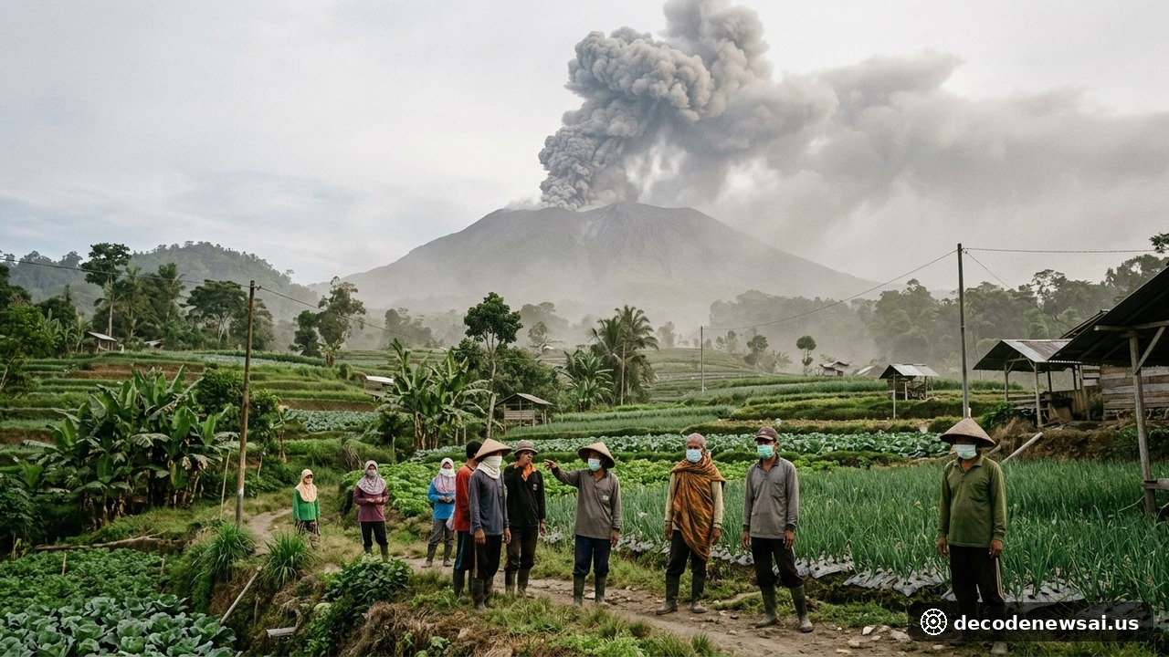
Standing at an elevation of 2,891 meters, Mount Marapi represents one of the most volatile volcanic complexes across the island of Sumatra. The primary eruption occurred abruptly at 9:55 am local Western Indonesia Time on Saturday. High-altitude atmospheric winds dispersed thick volcanic particulate southwesterly toward surrounding valley communities. Sungai Pua district inside Agam Regency sustained heavy ash accumulation. Productive hillside farmland was coated in fine gray ash. Daily agrarian activities faced severe interruptions.
Seismic telemetry recorded a second volcanic event at 12:34 am on Sunday morning. Ground vibrations lasting 30 seconds sparked widespread concern across foothill settlements. Dense fog and low precipitation clouds obscured visual observation of the volcanic ash plume height from the monitoring post. Seismographic data confirmed continued subsurface magma migration beneath the crater floor. Magmatic pressure remains elevated.
Geological agency monitoring officer Ahmad Rifandi affirmed the physical measurements in a formal status bulletin. Rifandi stated: "Subsurface hydrothermal gases and molten magma remain actively degassing, and residents and climbers are strictly forbidden from entering the three-kilometer hazard zone around Verbeek crater." Official advisories warned against sudden pyroclastic flows.
Ash damages cabbage crops and Padang flights stay scheduled
Surrounding highland villages activated local community disaster response plans immediately following ash fall. Ismail Damar, director of the Sariak Disaster Alert Village committee in Agam, reported severe ground-level conditions. Damar noted that abrasive ash clouds severely reduced roadway driving visibility and caused respiratory distress. Civil defense wardens advised farmers to seek shelter inside covered farm huts. Relief volunteers distributed certified particle masks.
Volcanic fallout inflicted significant damage across high-altitude horticulture crops. Tens of hectares of harvest-ready cabbage, green onions, and chili pepper seedlings were crushed by heavy ash deposits. Farmers worked through pungent sulfur odors to brush corrosive mineral residue off vegetable leaves. Agronomists warned that upcoming seasonal rains could generate acidic mud. Agricultural damage assessments expanded across rural districts.
The Darwin Volcanic Ash Advisory Centre provided continuous aviation tracking updates to international air traffic control authorities. Satellite imagery confirmed that upper-atmospheric ash plumes dispersed across higher wind strata without disrupting trunk flight paths. Indonesia's civil aviation ministry maintained scheduled flight departures at Minangkabau International Airport in Padang. Commercial pilots were instructed to exercise heightened visual vigilance. Airspace advisories remain active.
Monsoon rains threaten lahars as Indonesia marks 2026 activity
Meteorological and disaster management agencies published urgent warnings regarding secondary hydrological hazards. West Sumatra is currently traversing its seasonal monsoon cycle. Torrential tropical downpours frequently wash loose pyroclastic debris down steep river ravines, producing destructive volcanic cold mudflows known as lahars. Settlements along active riverbeds were designated for priority precautionary evacuation monitoring. Flood mitigation operations intensified.
Statistical records compiled by the Geological Agency show that volcanic activity across the Indonesian archipelago remained elevated throughout 2026. Straddling the seismically active Pacific Ring of Fire, Indonesia regularly experiences complex tectonic and volcanic shifts. Earth scientists are utilizing satellite interferometric synthetic aperture radar to measure minute summit inflation. Geophysical observation technologies are improving steadily.
Regional emergency mitigation offices delivered tens of thousands of medical face masks and sterile eye drops to foothill villages. Mobile health units deployed across public shelter facilities to screen elderly residents and young children for acute respiratory infections. Administrative authorities urged the public to rely exclusively on official state broadcasts and avoid unverified rumors. Community stability remains intact.