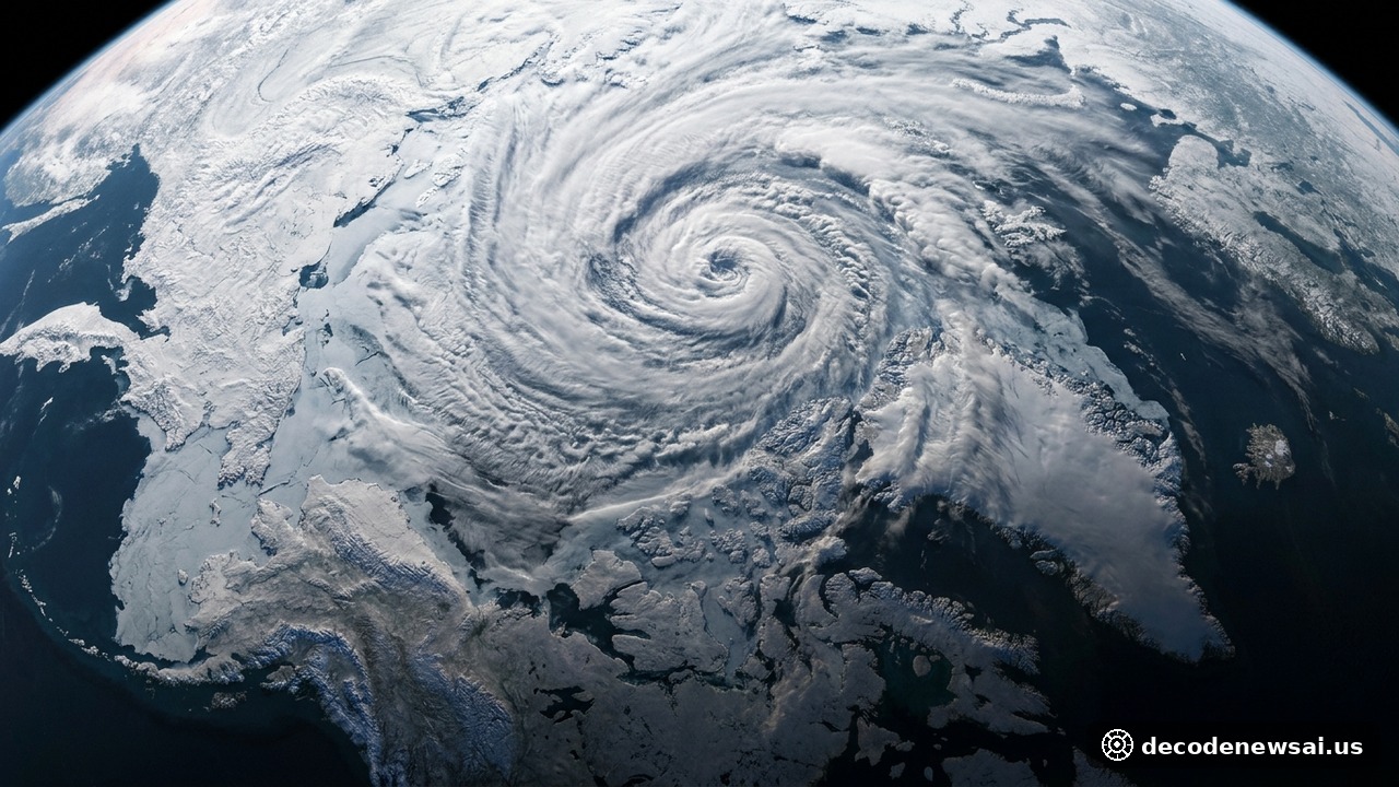
READING, England — Meteorological guidance from the European Centre for Medium-Range Weather Forecasts indicates that the Arctic stratospheric polar vortex is undergoing rapid deceleration, raising the probability of a record-early wind reversal. Stratospheric wind speeds dropped below two meters per second. Forecast simulations show polar air masses could destabilize heading into early winter. Severe Deceleration Across Stratospheric Zonal Winds The meteorological disruption is centered at the 10-hectopascal pressure altitude, roughly 30 kilometers above the surface at 60 degrees north latitude. Wind velocities fell precipitously. This atmospheric zone normally sustains powerful cyclonic westerlies averaging 24 meters per second during late autumn.
Ninety-six percent of ECMWF ensemble members project winds crossing zero
Observational data recorded by atmospheric sensor networks tracked the collapse over a ten-day period. The deceleration was unusually steep. The mean zonal wind velocity dropped from 22.13 meters per second to 5.44 meters per second across an eight-day window before falling below two meters per second in early November.
Ensemble predictions from ECMWF operational runs show strong model consensus. Global weather agencies aligned. Ninety-six percent of ECMWF ensemble members projected stratospheric winds crossing zero, signaling a complete transition from westerly to easterly flow. Unprecedented Timing for Sudden Stratospheric Warming Atmospheric scientists classify the rapid heating and wind reversal as a Sudden Stratospheric Warming event. Planetary waves drove the disruption. Strong upward energy flux originating from lower tropospheric storm tracks disrupted the thermal symmetry of the Arctic polar core.
If verified by continuous daily observations, the reversal would represent the earliest major stratospheric disruption since comprehensive records began in 1958. Historical records are being challenged. The earliest recorded major event occurred on November 28, 1968, making the current November window an exceptional climatological anomaly.
All 31 GEFS members project zonal winds dropping below zero
All 31 ensemble members of the U.S. Global Ensemble Forecast System also projected zonal winds dropping below zero, dipping toward a minimum of negative two meters per second. Leading atmospheric scientist Judah Cohen noted in an analysis: "All models including the GFS are predicting the earliest SSW on record over the next two weeks." Surface Weather Implications and Mid-Latitude Winter Incursions A disruption of the stratospheric vortex often influences broader weather patterns across the troposphere. Cold air containment weakens significantly. When the circumpolar westerly jet stream collapses, dense Arctic air masses can dislodge from polar latitudes and surge southward into mid-latitude regions.
While a stratospheric wind reversal does not automatically cause immediate surface blizzards, it raises the likelihood of prolonged cold waves. North American and European forecasters are on alert. Weather models indicate an increased risk of severe cold-air outbreaks across northern Europe and eastern North America by late November and early December.
Meteorological agencies emphasize that long-range simulations are undergoing continuous revision. Atmospheric modeling continues daily. As polar stratospheric temperatures fluctuate, energy grid operators and civil protection agencies are monitoring forecasts to prepare for early-winter cold surges and sudden grid demand spikes. Cross-Model Diagnostics and Stratospheric Energy Couplings Atmospheric physicists observing the polar disturbance underscore the unique dynamical drivers behind this autumn's vortex deceleration. Tropospheric wave trains initiated the disruption. Unusually persistent blocking ridges across Siberia and the North Pacific channeled intense planetary wave activity upward through the tropopause, eroding the polar vortex core from below.
ECMWF and GEFS convergence exceeds ninety percent probability
Comparative model diagnostics demonstrate broad agreement across European and North American numerical centers. Forecast consistency is exceptional. The convergence between ECMWF and GEFS simulations indicates that while the absolute depth of the wind reversal remains sensitive to wave breaking dynamics, the probability of a historically unprecedented disruption exceeds ninety percent. Climate monitoring centers continue to track stratospheric geopotential height anomalies to refine long-range winter weather outlooks.