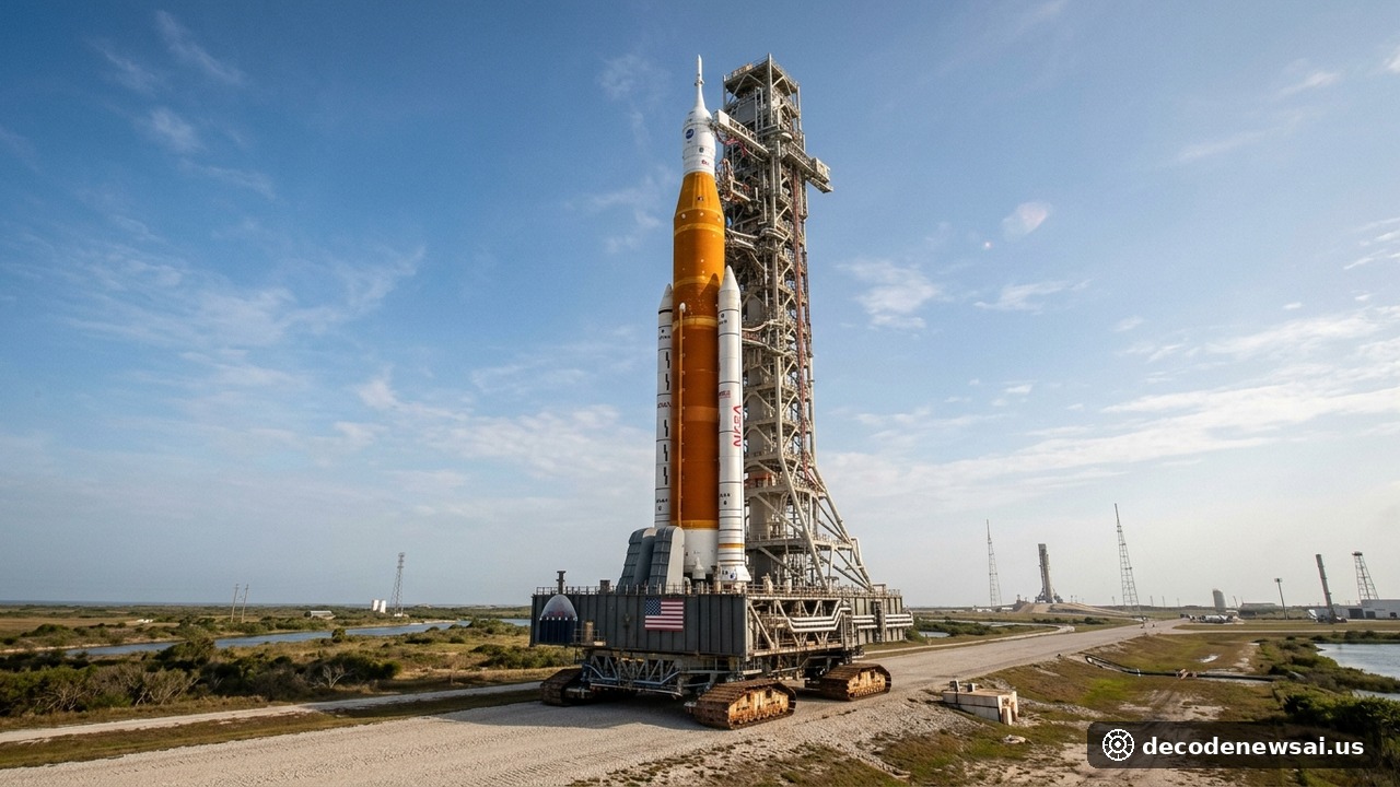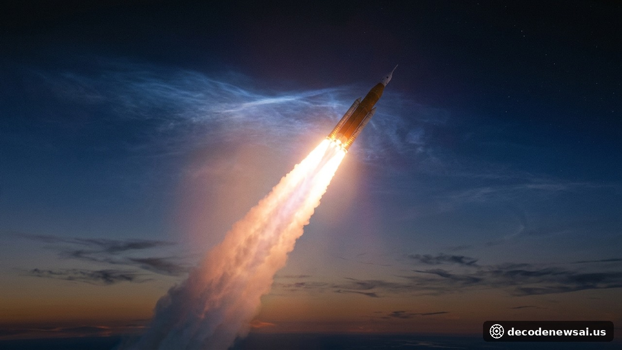
An international scientific collaboration of space physicists and upper atmospheric researchers officially published a comprehensive observational study on November 6, 2026, analyzing the ionospheric consequences triggered by NASA's Space Launch System (SLS) during the crewed Artemis II lunar mission. Leveraging telemetry harvested from trans-Atlantic ground-based Continuous Operating Reference Stations (CORS) and Global Navigation Satellite System (GNSS) arrays, researchers confirmed that exhaust plumes from the super-heavy launch vehicle punched localized depletion zones within the F-region of Earth's ionosphere between 200 and 400 kilometers altitude, precipitating a steep drop in total electron content (TEC) of up to 3.7 TECU and inducing measurable phase scintillations across regional GPS navigation signals.
What Are the Core Physical Metrics and Atmospheric Parameters in the Artemis II Ionospheric Study?
- Altitude Layer of Severe Exhaust Plume Chemical Recombination: 200 to 400 Kilometers Altitude (Within the Ionospheric F2 Peak)
- Duration Required for Natural Plasma Recombination Recovery: Completely Dissipated and Recovered Within 2 to 3 Hours
- Ground-Based Tracking Infrastructure Utilized in Analysis: Over 250 Trans-Atlantic Dual-Frequency GNSS Reference Stations
Upper atmospheric physicists detailed the precise chemical kinetics driving the formation of the ionospheric hole. As the SLS rocket's four core-stage RS-25 liquid hydrogen/liquid oxygen engines and cryogenic upper stage burned through the thermosphere, they injected metric tons of neutral water vapor and molecular hydrogen into a highly rarefied environment dominated by atomic oxygen ions (O+). The neutral water molecules triggered rapid ion-atom charge-exchange reactions, producing positively charged polyatomic hydronium and molecular ions that subsequently undergo rapid dissociative recombination with ambient free electrons. This chemical chain reaction consumed free electrons within minutes, carving out an invisible, highly localized depletion zone in the upper ionosphere.
How Do Rocket-Induced Ionospheric Plasma Holes Interfere with High-Precision Satellite Navigation?
While atmospheric scientists emphasized that the disturbance was strictly transient and fully recovered via solar photoionization within two to three hours, its operational impacts on electromagnetic signal propagation were pronounced.
When satellite navigation signals transmitted on L-band frequencies traverse an ionospheric plasma depletion hole, sharp gradients in electron density alter the refractive index along the line-of-sight propagation path. Dual-frequency GNSS receivers situated beneath the rocket trajectory experienced localized range errors scaling up to several meters, alongside sudden carrier-phase cycle slips. Commercial transatlantic aviation flights and maritime vessels navigating near the offshore launch corridor experienced temporary degradations in differential GPS positioning accuracy, while high-frequency (HF) skywave communication networks recorded transient attenuation and Doppler shifting.
Ionospheric modelers highlighted that the altitude at which cryogenic propellant combustion occurs is the critical variable dictating atmospheric recovery times. Because ambient atmospheric density decreases exponentially with altitude in the upper thermosphere, natural photoionization processes require longer durations to restore equilibrium following high-altitude main engine cut-off events compared to low-altitude first-stage burns.
Additionally, telecommunications engineers emphasized that next-generation multi-constellation GNSS receivers combining GPS, European Galileo, and Japanese QZSS signals can mitigate localized single-frequency range deviations by dynamically cross-validating satellite signals across divergent lines of sight, preserving centimetre-level positioning accuracy for automated maritime vessels.
What Strategic Repercussions Does Rising Heavy-Lift Launch Cadence Pose for Space Weather Policy?
The publication of this study coincides with an unprecedented global expansion in super-heavy orbital rocket launches driven by lunar exploration and commercial mega-constellations.
With NASA's Artemis campaign, SpaceX's Starship, and international heavy-lift programs scaling toward frequent orbital and cislunar missions, the aggregate environmental impact of chemical rocket plumes on Earth's ionosphere is transitioning from an academic curiosity into an active space traffic management challenge. Scientific organizations are calling for standardized space weather mitigation protocols, including synchronized GNSS advisory alerts and launch azimuth modeling, ensuring that humanity's ambitious expansion into deep space maintains seamless coexistence with critical civil communications and global satellite navigation networks.