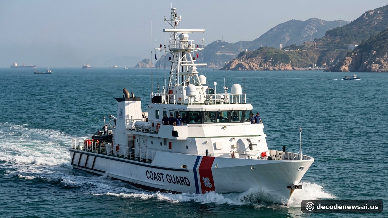
The Institute for the Study of War (ISW) and the American Enterprise Institute (AEI) published their joint China & Taiwan Strategic Assessment in early November 2026, revealing that Beijing has deployed sustained maritime task forces exceeding 50 naval and China Coast Guard (CCG) vessels around the Taiwan Strait; utilizing persistent gray-zone operations, Chinese maritime assets have maintained contiguous patrols across Taiwan's contiguous waters while hydrographic survey vessels systematically mapped seabed topographies surrounding critical international submarine data cables.
What Quantitative Deployments and Operational Patterns Anchor the Think Tank Assessment?
- Primary Hydrographic Mapping Zones: Taiwan Strait fairway, Pratas, & east coast lanes
- Core Gray-Zone Operational Objective: Subsea data cable route survey & legal jurisdiction
- Taiwan Coast Guard Response Architecture: 1,000-ton cutter shadow patrols & radar alerts
- Commercial Merchant Shipping Status: Container and LNG maritime lanes remain open
How Does a Persistent 50-Vessel Presence Redefine De Facto Strait Jurisdiction?
According to detailed geospatial telemetry analyzed by defense researchers, mainland maritime operations have shifted from episodic, high-intensity punitive exercises toward persistent institutional normalization. Rather than withdrawing following localized political milestones, coast guard cutters and guided-missile corvettes maintain uninterrupted rotating presence grids along key approaches.
Automatic Identification System (AIS) transponder feeds confirm regularized patrol boxes operating east of the historical median line and adjacent to the Penghu archipelago. By characterizing military patrols as administrative maritime safety inspections, Beijing systematically challenges maritime baselines, seeking to condition international commercial shipping and regional navigation authorities to de facto administrative oversight across international waters.
Why Does Hydrographic Mapping of Submarine Fiber-Optic Cables Alarm Security Planners?
The joint report highlights surveillance activity executed by oceanographic research vessels and acoustic survey ships operating near shallow coastal landing stations. Taiwan's digital economy, financial transactions, and military command networks rely on approximately fourteen deep-sea fiber-optic cables connecting the main island to transpacific networks.
Telemetry reveals hydrographic vessels deploying multibeam sonar arrays and tethered unmanned submersibles across undersea chokepoints between the outlying islands of Matsu and Kinmen and northern Taiwan ports. Taiwan's Coast Guard Administration dispatched offshore patrol vessels to issue radio warnings and maintain visual contact, expelling unauthorized survey ships from restricted coastal perimeters. Strategic defense analysts warn that logging bathymetric depths and subsea anchoring substrate provides valuable acoustic intelligence that could facilitate rapid interdiction of communications cables during maritime blockade contingencies.
How Are Maritime Authorities and International Alliances Countering Asymmetric Attrition?
To counter sustained gray-zone encroachment without escalating kinetic friction, Taiwan's naval architecture is reallocating capital toward asymmetric maritime constabulary capabilities. Newly commissioned coastal patrol cutters feature automated non-lethal water cannons, acoustic deterrent devices, and encrypted real-time datalinks connected to territorial radar centers, enabling rapid non-escalatory standoff enforcement.
International maritime shipping consortiums emphasize that the Taiwan Strait accommodates nearly half of the global container fleet and critical semiconductor component shipments. While commercial shipping lanes operate without immediate physical embargoes, persistent high-density maritime maneuvering increases navigational collision risks and commercial hull insurance premiums. As regional partners expand multi-domain maritime domain awareness protocols, the operational contest over subsea communication lifelines and strait jurisdiction has solidified into an enduring endurance standoff.
How Are Regional Allies Enhancing Maritime Domain Awareness Networks?
In response to persistent gray-zone operations, defense ministries across the Indo-Pacific are integrating coastal radar feeds and satellite tracking networks. By sharing unclassified maritime telemetry with commercial shipping registries, regional monitoring commands provide merchant mariners with real-time navigational alerts identifying unannounced survey flotillas.
Furthermore, multilateral security frameworks emphasize that defending submarine communications infrastructure is vital to global financial stability. International naval coalitions are conducting coordinated subsea cable inspection drills and seabed monitoring exercises, establishing a collective deterrence framework that ensures vital undersea data corridors remain resilient against asymmetrical interference.